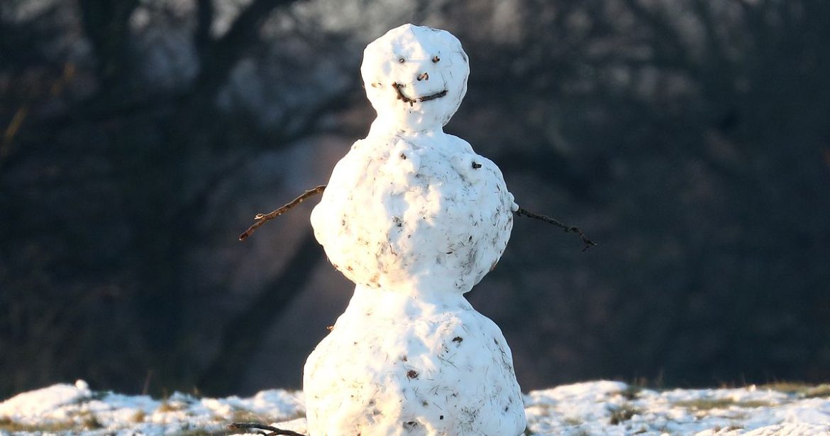
Weather maps suggest millions of Brits could wake up to snow on December 25 with the GFS model showing intense flurries hitting Northern Ireland and Scotland at midnight on Christmas Eve
Millions of Brits could be waking up to a blanket of snow on Christmas Day, as the latest weather maps hint at the possibility of a White Christmas. The GFS weather model predicts intense snow showers hitting Northern Ireland and Scotland at midnight on Christmas Eve, with lighter snowfall also possible in northern parts of England.
Snow is forecasted to continue falling throughout Christmas morning, with 3am maps suggesting that western Scotland will experience the heaviest snow showers. Southern Scotland, along with the Lake District and the Pennines in England, could also see substantial snowfall around this time.
By 6am, the maps indicate the most intense snowfall around Galloway Forest Park in Scotland. Cities including Glasgow and Dundee might also get a dusting of snow.
In England, Manchester could see some light flurries, according to the maps, reports the Mirror.
Snow coverage maps for 6pm on Christmas Day suggest significant areas of northern England, Northern Ireland and Scotland could have a layer of snow on the ground. Cities including Manchester, Edinburgh, Glasgow and Dundee all appear set for a proper White Christmas.
For an official White Christmas to be declared, the Met Office stipulates that just one snowflake needs to fall within the 24 hours of 25 December. This means that technically, the last White Christmas in the UK was in 2023, when 11% of weather stations reported snowfall.
However, the last widespread White Christmas occurred in 2010 when snow was on the ground at 83% of stations.
The Met Office indicates that any snow towards the end of December will most likely fall on higher ground, with the national weather service’s current forecasts suggesting that the chances of widespread snowfall remain “very low”.
The weather agency’s outlook for December 25 to January 8 explains: “Moving into late-December and early January, there are signs that the persistent pattern of mild and wet weather, which has characterised the month so far, may ease somewhat, with a chance of high pressure becoming more influential.
“Compared to recently, the chance of dry, settled patterns of weather is higher with frost and fog more prevalent. Spells of rain and strong winds remain possible, but these are more likely to less frequent compared to the month so far.
“The chance of snowfall is likely to be higher than earlier in the month, particularly high ground in the north. Whilst the chance of impacts from cold weather is higher compared to earlier in the month, the likelihood of more widespread snow and ice remains very low.”
#December #forecast #Met #Offices #reveals #White #Christmas #means


